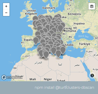
# clustersDbscan
Takes a set of points and partition them into clusters according to https://en.wikipedia.org/wiki/DBSCAN data clustering algorithm.
根据 DBSCAN (opens new window) 数据聚类算法,将一组点进行分区并分成簇。
参数
| 参数 | 类型 | 描述 |
|---|---|---|
| points | FeatureCollection <Point> | 被聚类点 |
| maxDistance | number | 生成簇的最大距离(仅以公里为单位),即任何簇点之间的最大距离 |
| options | Object | 可选参数:见下文 |
options选项
| 属性 | 类型 | 默认值 | 描述 |
|---|---|---|---|
| units | string | kilometers | in which |
| mutate | boolean | false | 允许对GeoJSON输入进行修改 |
| minPoints | number | 3 | 生成单个簇所需的最少点数,不满足此要求的点将被分类为“边缘”或“噪声”。 |
返回
FeatureCollection <Point> - 每个要素都有额外的两个属性与聚类点相关联:
示例
// 在它们的属性中创建具有随机z值的随机点
var points = turf.randomPoint(100, {bbox: [0, 30, 20, 50]});
var maxDistance = 100;
var clustered = turf.clustersDbscan(points, maxDistance);

← 收集 K-Means聚类算法 →